The Egypt tourist map explained, zone by zone, with real distances and travel times
The Egypt tourist map explained, zone by zone, with real distances and travel times
Read the Egypt tourist map as one long line and a few side branches. The line is the Nile: Cairo and Giza sit at the top where the river fans into the delta, Luxor sits about 400 miles south, Aswan about 135 miles beyond that, and Abu Simbel sits near the Sudanese border. Everything else hangs off that line. The Red Sea coast with Hurghada, El Gouna and Marsa Alam lies east across the desert. The Sinai Peninsula with Sharm El Sheikh, Dahab and St. Catherine is a separate triangle across the Gulf of Suez. Alexandria is north on the Mediterranean, and Siwa, Bahariya and Fayoum are oases in the Western Desert. First timers pick two or three zones, never all of them.
The shape of the country in one look
On day one of every trip our guides draw the same sketch on a napkin. Egypt is a square of desert with a green thread running through it. The thread is the Nile valley, rarely more than a few miles wide, running from the southern border north to Cairo. At Cairo it splits into the fan of the Nile Delta, which reaches the Mediterranean at Alexandria, Rosetta and Damietta. Almost every Egyptian, and almost every ancient monument, lives on that thread and that fan.
West of the river is the Western Desert, part of the Sahara, flat and enormous, dotted with oases. East of the river is the Eastern Desert, a spine of dry mountains that drops to the Red Sea. Across the Gulf of Suez, joined to the mainland only by the strip north of the canal, is the Sinai Peninsula, a triangle of granite mountains with reefs on both coasts.
That gives you five pieces to hold in your head: the valley, the delta, the two deserts and Sinai. Every distance problem in Egypt comes from the fact that the pieces do not touch where you expect. Our Egypt travel guide covers what to see in each place. This page is only about where the places are.
The tourist zones and what each one holds
Maps of Egypt tourist attractions cluster into nine zones. Here is what sits in each, north to south and then out to the edges.
Cairo and Giza
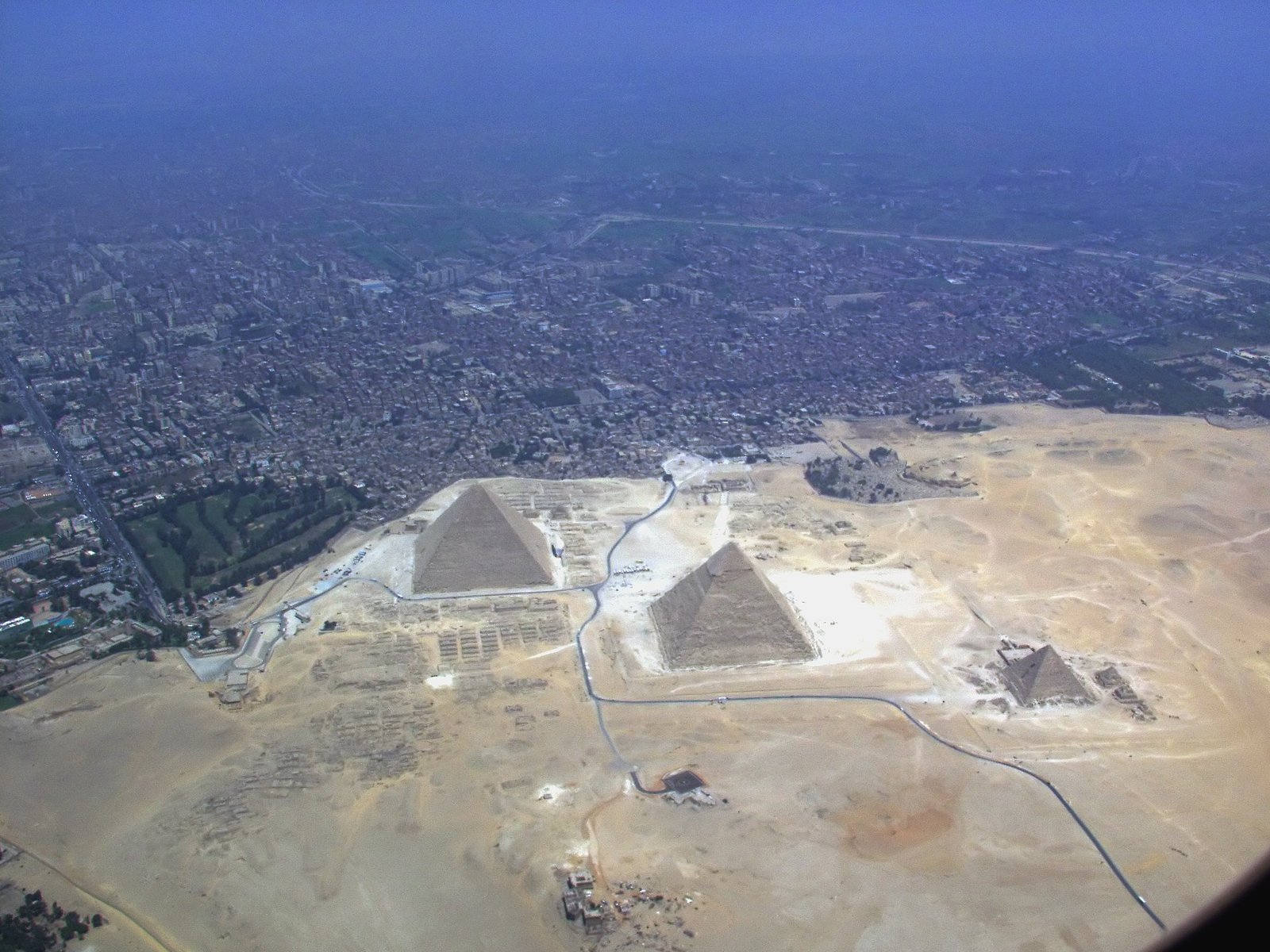
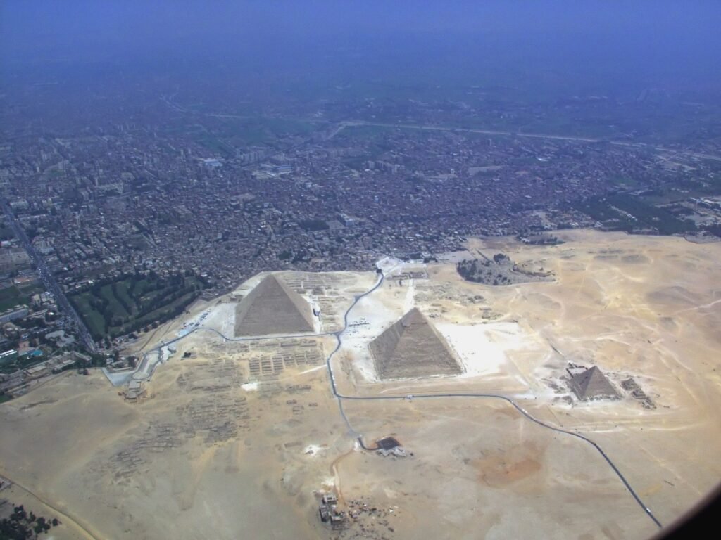
The capital sits where the valley becomes the delta. Giza, with the pyramids and the Sphinx, is the western edge of the same city, about 12 miles from downtown. Saqqara and Dahshur are 20 to 30 miles south. The two big museums, Islamic Cairo, Coptic Cairo and Khan el-Khalili are all inside the city. Two full days is the minimum, and the Cairo excursions page shows how we split them.
Alexandria and the delta
Alexandria is 140 miles northwest of Cairo on the Mediterranean, at the western corner of the delta, with the catacombs, the Citadel of Qaitbay, the modern Library and a long corniche. The delta itself has almost no tourism infrastructure, so this is a day trip from Cairo rather than a zone you sleep in.
Middle Egypt with Minya
The valley between Cairo and Luxor is the least visited part of the map. Minya, about 155 miles south of Cairo, is the base for Beni Hasan and Tell el-Amarna. Abydos and Dendera, further south, are usually a long day trip from Luxor. A zone for second visits.
Luxor and the west bank
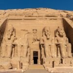
Luxor is the densest square mile of monuments on Earth. The east bank has Karnak, Luxor Temple and the hotels. The west bank has the Valley of the Kings, Hatshepsut's temple, Medinet Habu and the balloon launch site. See the Luxor excursions page for how the two banks divide across two days.
Aswan, Abu Simbel and Nubia
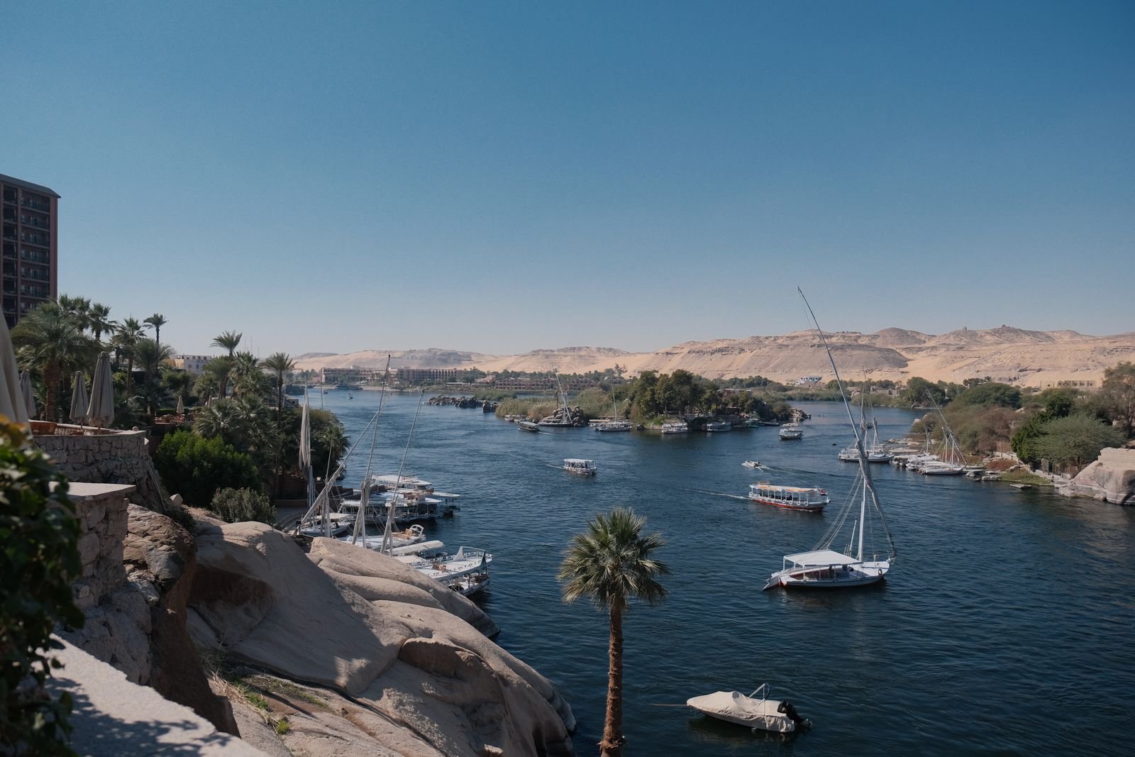
Aswan, 135 miles south of Luxor, is where the river narrows through granite islands. Philae, the High Dam and the Nubian villages are all within a few miles. Abu Simbel is a separate excursion, 175 miles further south beside Lake Nasser, by road or a short domestic hop. The Aswan excursions page has both versions.
The Red Sea coast
The mainland coast runs south from Suez for hundreds of miles. Hurghada is the hub. El Gouna is a lagoon town 15 miles north of it, Sahl Hasheesh a resort bay 12 miles south, then Makadi, Soma Bay, Safaga and a long empty stretch to Marsa Alam, 170 miles south of Hurghada. This zone is for beach and reef, and it connects west to Luxor by a desert road.
Sinai
Sharm El Sheikh sits at the southern tip of the peninsula, with Ras Mohammed next door. Dahab is 55 miles up the Gulf of Aqaba coast. St. Catherine's Monastery and Mount Sinai are in the mountains in the middle, about 3 hours from Sharm. Our Sinai Peninsula travel guide walks through the whole triangle.
The Western Desert oases
Fayoum is the near one, 60 miles southwest of Cairo, an easy day trip. Bahariya is 230 miles out and the gateway to the White Desert. Siwa, near the Libyan border, is the far one, 465 miles from Cairo and a full day on the road each way.
Distances and real travel times between the zones
The map is honest about miles and dishonest about hours. Egyptian roads have checkpoints and towns to crawl through, so the figures below are what our drivers actually log. Flight times are gate to gate, so add about 2 hours for airport handling on each end.
| From | To | How | Approximate time | Distance |
|---|---|---|---|---|
| Cairo | Alexandria | Train or road | 2 h 30 min to 3 h | 140 mi / 220 km |
| Cairo | Luxor | Domestic flight | 1 h | 310 mi / 500 km direct |
| Cairo | Luxor | Sleeper train | 10 to 11 h overnight | 410 mi / 660 km by rail |
| Cairo | Aswan | Domestic flight | 1 h 25 min | 425 mi / 680 km direct |
| Cairo | Aswan | Sleeper train | 13 to 14 h overnight | 545 mi / 880 km by rail |
| Cairo | Hurghada | Domestic flight | 1 h | 250 mi / 400 km direct |
| Cairo | Hurghada | Private car | 5 h 30 min to 6 h 30 min | 285 mi / 460 km |
| Cairo | Sharm El Sheikh | Domestic flight | 1 h | 240 mi / 390 km direct |
| Cairo | Siwa | Private car | 9 to 11 h | 465 mi / 750 km |
| Luxor | Aswan | Private car or day train | 3 h to 4 h | 140 mi / 225 km |
| Luxor | Aswan | Nile cruise | 3 or 4 nights | 125 mi / 200 km of river |
| Luxor | Hurghada | Private car | 4 h to 4 h 30 min | 180 mi / 290 km |
| Aswan | Abu Simbel | Private car | 3 h 30 min each way | 175 mi / 280 km |
| Hurghada | Sharm El Sheikh | Road around the gulf | 11 to 13 h | 560 mi / 900 km |
| Sharm El Sheikh | Dahab | Private car | 1 h 15 min | 55 mi / 90 km |
| Sharm El Sheikh | St. Catherine | Private car | 3 h | 130 mi / 210 km |
Two habits will save you. Treat anything over 4 hours by road as a travel day, not a transfer you squeeze in before dinner. And between Cairo and the south, the flight is the sensible default and the sleeper train is the romantic alternative, never the other way around. The how many days in Egypt guide turns these hours into a realistic day count.
How the Nile cruise sits on the map
The cruise is the one part of the map that moves. Every standard boat sails the same stretch of river, between Luxor and Aswan, about 125 miles of water. Northbound and southbound itineraries cover the same stops in reverse: Luxor, Esna, Edfu, Kom Ombo, Aswan. The boat is your hotel, so a 4 hour drive becomes 3 or 4 nights of slow travel with temples along the way.
So a cruise is not an extra destination on the map. It replaces the Luxor to Aswan transfer and the hotel nights in one or both towns. On the napkin: Cairo at the top, a flight down to Luxor or Aswan, the boat covering the gap, a flight back up. The direction you sail decides which airport you use at each end.
- Luxor to Aswan, southbound, 4 nights: see the west bank before boarding, sail upriver, finish in Aswan with Abu Simbel as the last excursion.
- Aswan to Luxor, northbound, 3 nights: do Abu Simbel first, sail downriver, finish in Luxor with the Valley of the Kings as the finale.
- Long cruises, 7 nights: the same stretch sailed both ways, or a Lake Nasser leg south of the High Dam.
There are no regular cruises between Cairo and Luxor. Our Nile cruise page compares the boats and the two directions in detail.
The classic routes drawn on the map
If you traced a year of our trips on one sheet, four lines would be worn through the paper.
- The Golden Triangle (Cairo, Luxor, Aswan). A vertical line down the Nile. Cairo for 2 or 3 days, a flight south, the cruise or a road transfer between Luxor and Aswan, a flight back. This is the 7 to 8 day trip most first timers should take.
- The Nile and the sea (Cairo, Luxor, Aswan, Hurghada). The same vertical line, then a right turn at Luxor along the desert road to the coast for 3 or 4 beach days. It works because Hurghada is 4 hours from Luxor. The 10 to 12 day version.
- Cairo and Sinai (Cairo, Sharm, Dahab, St. Catherine). A separate line east from Cairo, by domestic flight to Sharm or by road through the Suez tunnel. It pairs the pyramids with reefs and the monastery and skips Luxor entirely.
- The desert loop (Cairo, Bahariya, White Desert, Siwa, Alexandria, Cairo). A circle through the Western Desert in 4x4s with camping, for people who have already seen the temples.
Notice what the lines never do: they never join Sinai to the Red Sea mainland, and they never put a beach and Alexandria in the same week. The map makes those look natural. The roads do not.
What is far from what, even when it looks close
Every week someone sends us an itinerary with a day trip that cannot exist. These are the illusions the map creates.
- Sharm El Sheikh and Hurghada. They face each other across the mouth of the Gulf of Suez and look like neighbors. By road you go north to Suez, through the tunnel, and back down the other side, 11 hours or more. Ferries are not something to plan around. Choose one coast. The Hurghada or Sharm El Sheikh comparison exists precisely because of this.
- Cairo and Luxor. One inch apart on a wall map, 10 hours apart on a train. The domestic flight exists to close this gap.
- Abu Simbel and Aswan. Both in the far south, so people assume a morning. It is a 3 h 30 min drive each way across empty desert with a very early start, or a short domestic hop.
- Siwa and everything. Siwa is nearer to Libya than to Cairo. It needs 3 nights and does not combine with the Nile in a 10 day trip.
- Alexandria and the Red Sea. Opposite corners of the country. Alexandria belongs with Cairo as a day trip, never with a beach week.
A useful rule: if two places are in different zones, assume a half day of travel between them and check the table first.
Where the airports are on the map
Domestic flying makes a short Egypt trip possible, so know which dots on the map have a runway.
- Cairo (CAI): northeast of the center, about 45 minutes to Tahrir and over an hour to Giza. The hub for every domestic route.
- Luxor (LXR): 20 minutes east of town on the east bank. The northern end of the cruise stretch.
- Aswan (ASW): 30 minutes southwest of town, past the dams. The southern end of the cruise stretch.
- Abu Simbel (ABS): minutes from the temples, used for the same-day hop from Aswan.
- Hurghada (HRG): on the edge of the city, 15 minutes from the hotel strip and 40 from El Gouna or Sahl Hasheesh.
- Marsa Alam (RMF): confusingly, 40 miles north of the town at Port Ghalib. Resorts south of town can be over an hour away.
- Sharm El Sheikh (SSH): between Naama Bay and Nabq, 15 to 30 minutes from most hotels, about 1 h 15 min from Dahab.
The routes that run day after day are Cairo to Luxor, Cairo to Aswan, Cairo to Hurghada, Cairo to Sharm El Sheikh and Aswan to Abu Simbel. Luxor to Sharm and Hurghada to Sharm exist on paper with thin schedules that change by season, so we never build a route that depends on them.
How a first timer reads the map to choose a route
Here is the exercise our guides run with every family that arrives without a plan. It takes 10 minutes.
- Circle the Golden Triangle. Cairo, Luxor, Aswan. If this is your first visit and you have at least 7 days, it is in.
- Count your remaining days. Subtract 3 for Cairo and 4 for the cruise stretch. What is left decides whether you add a zone at all. Fewer than 3 spare days means no addition.
- Pick one edge zone, not two. With 3 or 4 spare days, choose between the Red Sea via Luxor (easiest, a 4 hour road), Sinai via Cairo (a flight, and you must come back through Cairo), or Alexandria as a day trip with no hotel move.
- Draw the line and count the moves. Every hotel change is a half day gone. More than 4 in 10 days is a route you will resent by day 6.
- Check the direction. Start at the far end and work back toward Cairo, or start in Cairo and finish at the far end. Never zigzag: Cairo, Aswan, Cairo, Hurghada is a common draft and a bad one.
- Leave Siwa, the deep oases and Middle Egypt for trip two. They are wonderful and they are far. The map will still be there.
If you want us to draw the line for you, tell us your dates, your number of nights and whether the sea matters more than the desert. We answer with a route on the map and the transfers between zones, then we send you the quote.
Frequently asked questions
Is there an official Egypt tourist map I can download?
There is no single official map, and the free ones handed out at hotels show every attraction with no sense of distance. The most useful map is the mental one on this page: a Nile line from Cairo to Abu Simbel, the Red Sea coast to the east, Sinai as a separate triangle, the oases to the west. With that in your head, any phone map works, as long as you read the hours from our table.
How far apart are Cairo and Luxor really?
About 310 miles in a straight line and about 410 miles by rail, because the line follows the river's bends. The domestic flight takes 1 hour gate to gate. The sleeper train takes 10 to 11 hours overnight. Driving takes most of a day, so we only use it for travelers who want to stop in Minya and Middle Egypt on the way south.
Can I visit Sharm El Sheikh and Hurghada on the same trip?
You can, but not the way the map suggests. The two resorts sit on opposite shores of the Gulf of Suez with no bridge or reliable ferry, so the road journey runs around the gulf through the Suez tunnel and takes 11 hours or more. The realistic way to see both is a domestic flight back through Cairo, which eats a day. Almost every traveler is happier picking one coast and giving it the full stay.
Where on the map does the Nile cruise go?
Between Luxor and Aswan, a stretch of about 125 miles of river in the south of the country. Boats sail in both directions and stop at Esna, Edfu and Kom Ombo along the way. There are no regular cruises north of Luxor toward Cairo, so you always fly or take the train to reach the boat. Lake Nasser cruises are a separate product south of the Aswan High Dam, running to Abu Simbel.
Which Egyptian airports do tourists actually use?
For moving around inside the country, Cairo is the hub, and Luxor, Aswan, Hurghada and Sharm El Sheikh are the four destinations with dependable daily service from it. Abu Simbel has a short connection from Aswan timed for the temples. Marsa Alam's airport is well north of the town, and Alexandria's is far enough out that the train from Cairo is usually the better choice.
How many zones can a first timer cover in 10 days?
Three, and no more. The Golden Triangle of Cairo, Luxor and Aswan takes 7 days done properly, including the cruise stretch and Abu Simbel. That leaves 3 days for one edge zone, most often Hurghada because the road from Luxor is only 4 hours. Adding Sinai or Alexandria to the same 10 days produces a trip that is all transfers and no Egypt.
Let a local team turn the map into a route
We live on this map. Our guides and drivers cover the Nile, the coast, Sinai and the oases every week, and we know which lines work in the days you have. Write to us with your dates and the zones you are drawn to, and we reply with a route, the transfers and a quote.